
Print Profile(1)

Description
Geology, Wildflowers and Night Skies at 10,000 Feet
"Crowning the Grand Staircase, Cedar Breaks sits at over 10,000 feet and looks down into a half-mile deep geologic amphitheater. Come wander among timeless bristlecone pines, stand in lush meadows of wildflowers, ponder crystal-clear night skies and experience the richness of our subalpine forest." https://www.nps.gov/cebr/index.htm
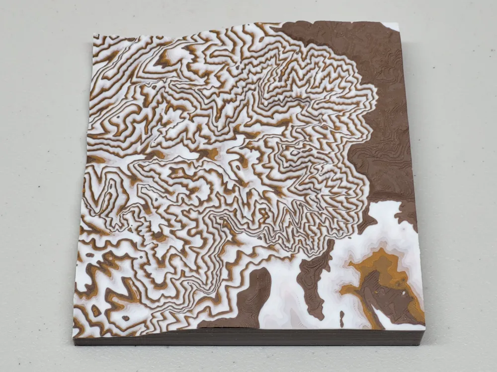
This is a rendering of the topology of Cedar Breaks National Monument, located in south-western Utah, north of Zion Canyon NP. The terrain data was generated using this tool: https://touchterrain.geol.iastate.edu/main
The rendering creates a topo-map-like series of layers by changing the filament in the print on every set of 12 layers, similar to how hueforge prints are done. This doesn't strictly require an AMS, but it is highly recommended to automate the many layers with color switches.
License



Comment & Rating (0)