Search models, users, collections, and posts

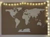
World Map - 3D Terrain
IP Report
Print Profile(1)
0.2mm layer, 2 walls, 15% infill
Designer
58.3 h
19 plates
Open in Bambu Studio
Boost
84
207
24
10
200
40
Released
Description
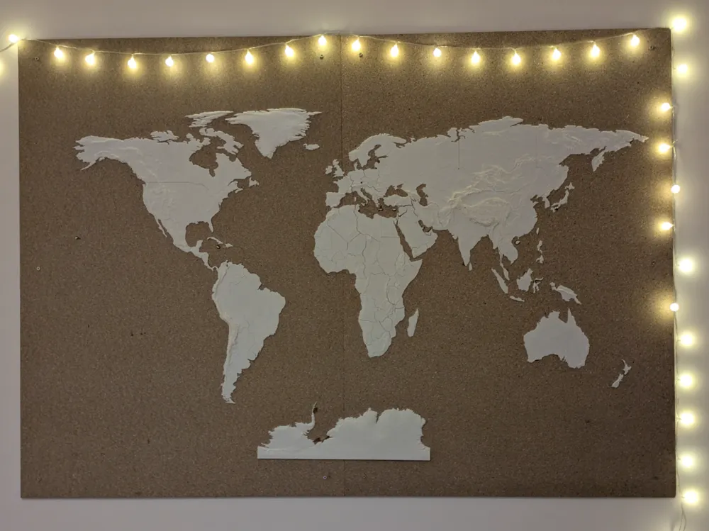
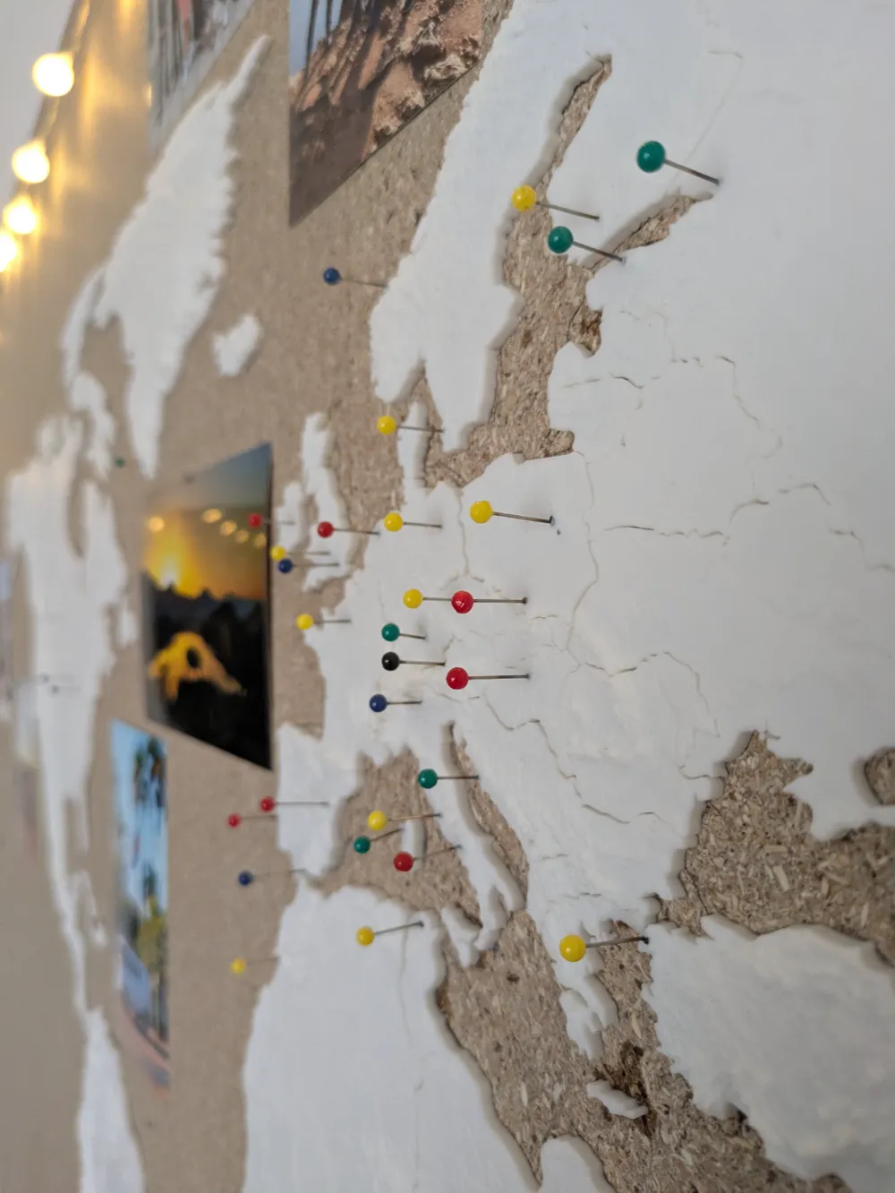
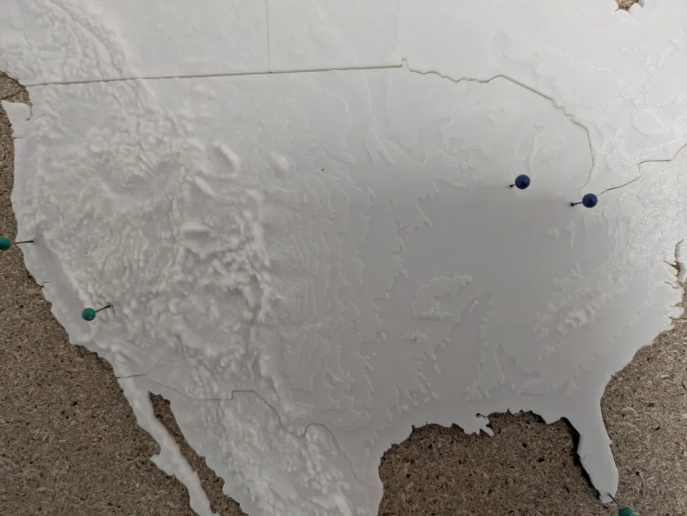
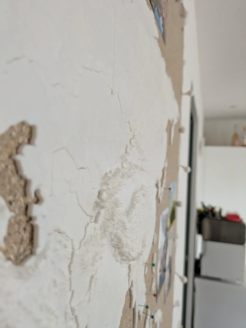
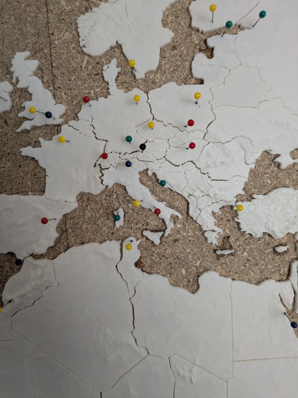
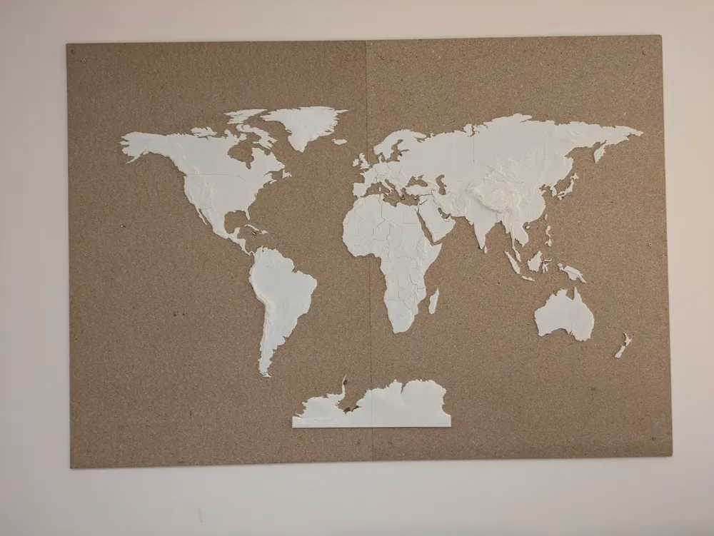
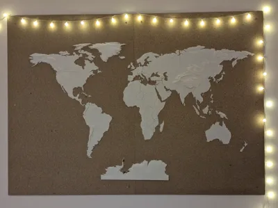
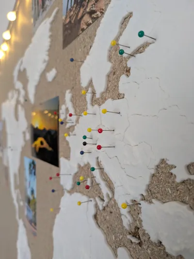
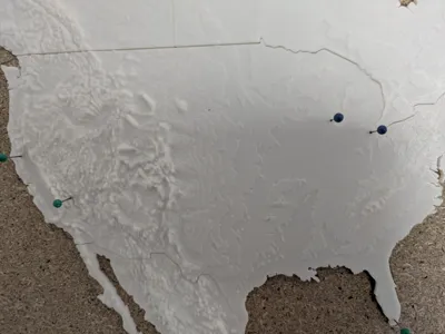
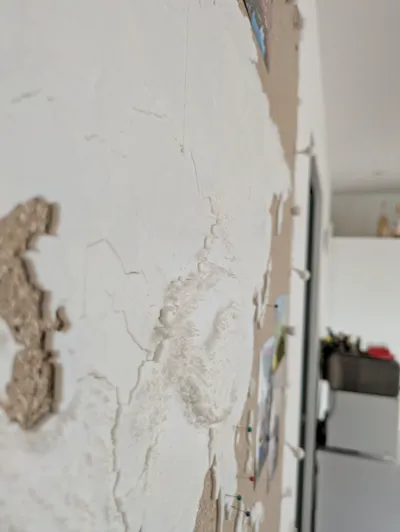
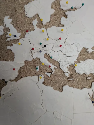
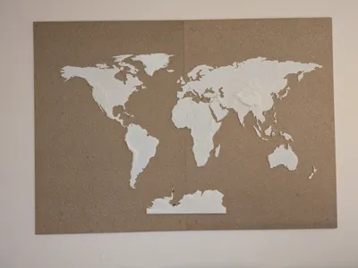
Worldmap with 3D terrain from real-world data. Can be printed on A1 with default settings and glued to a piece of wood or pinboard. I heat up pin needles with a lighter to melt them into the print and mark places I have been to. It also has a lot of space to hang up pictures. All countries are printed separately, so the seams can be seen from a close distance. They fit together nicely, but I recommend labeling them when taking them of the printer and gluing them from the center of the continent to the outside. All files are named according to ISO 3166-1 alpha-3. Countries to small to print are left out. The printed map is 150x100cm so I used a 170x120cm wood plate.
License

This user content is licensed under a
Creative Commons Attribution-Noncommercial-Share Alike


Comment & Rating (24)