
Mediterranean Sea Bathymetric & Topographic Model
Print Profile(1)

Description
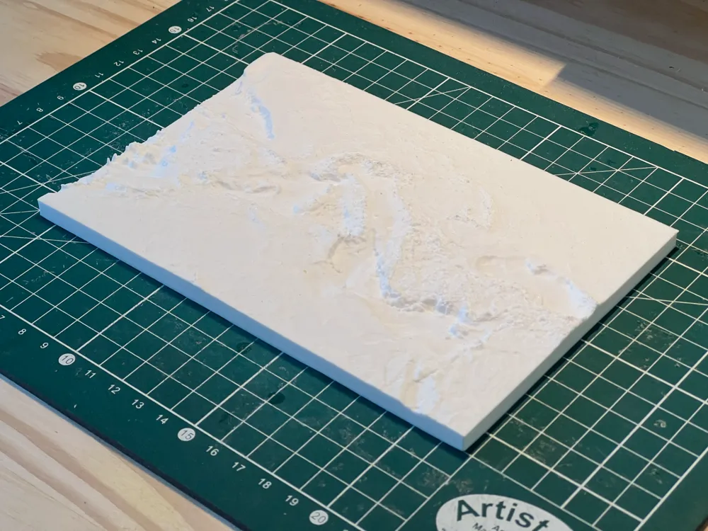
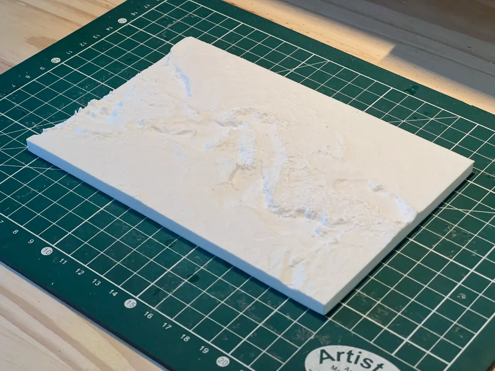
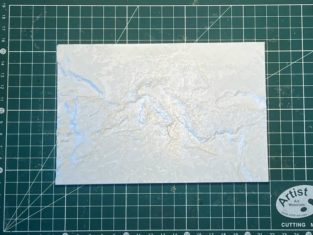
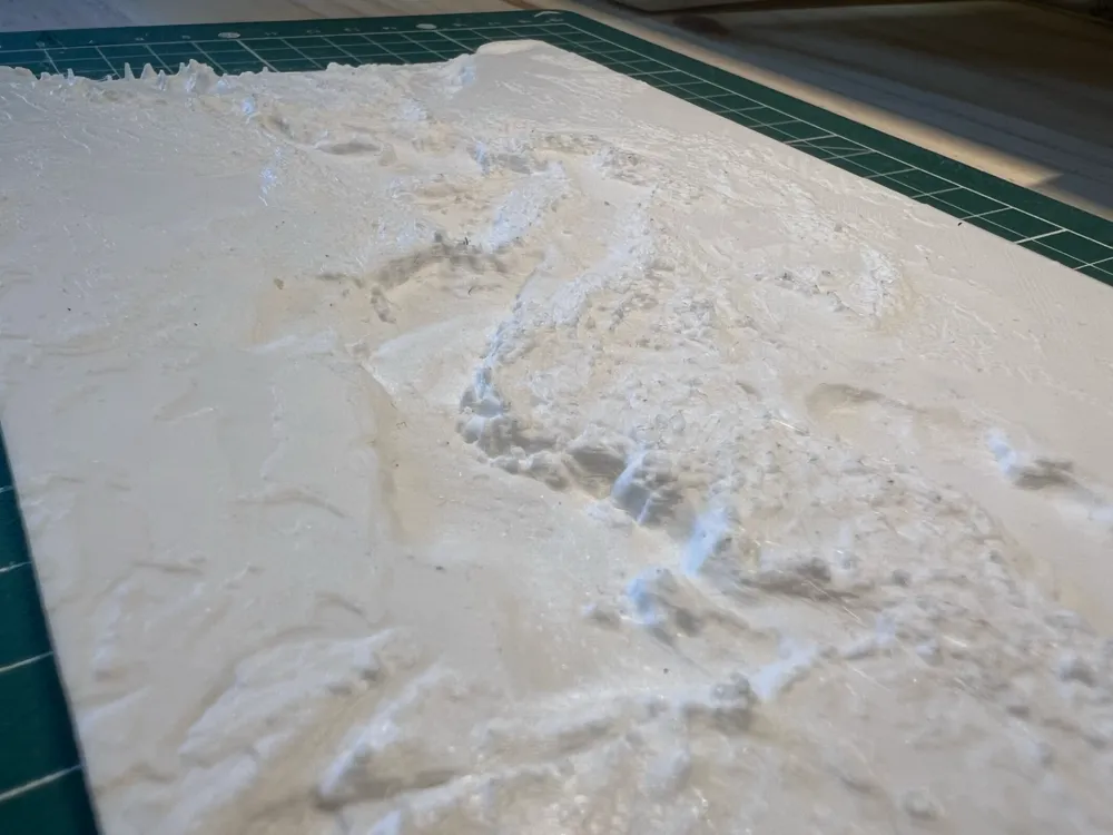
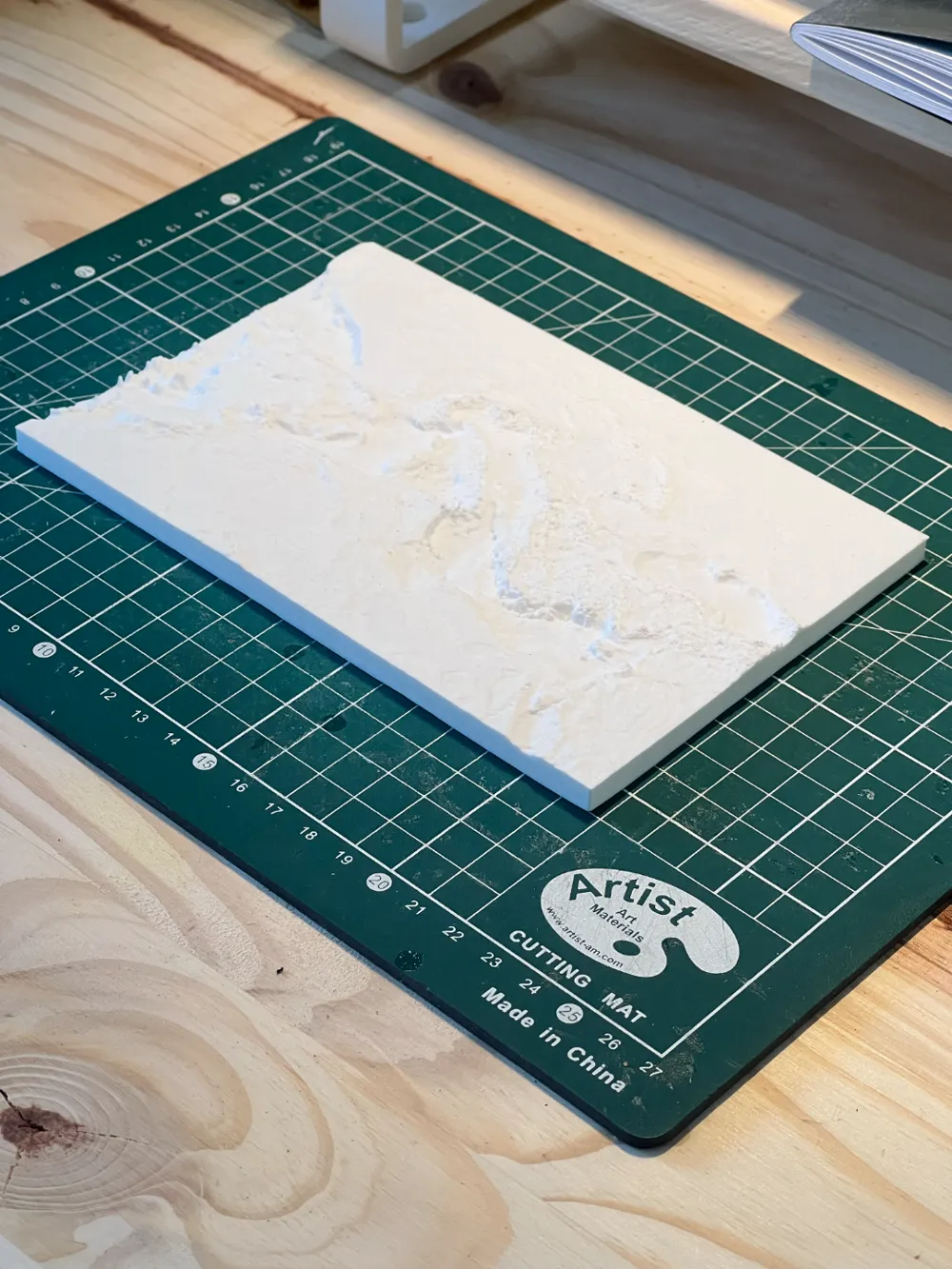
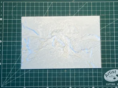
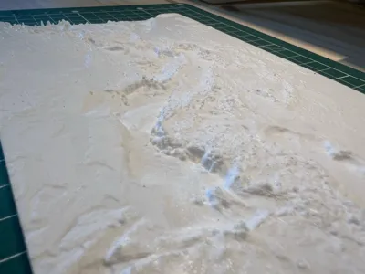
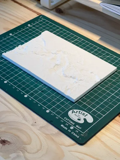
Explore a 3D topographic and bathymetric model of the Mediterranean Sea, scaled at 1:40,000,000. To enhance the visibility of underwater and land relief, the elevation has been exaggerated by a factor of 30. This model is based on data from the NOAA ETOPO Global Relief Model, available here. The 3D file was modeled using QGIS, ensuring accurate representation of seafloor depths and coastal landscapes. Perfect for geography enthusiasts, cartographers, and digital makers!
Ask me if you want other files lie this, together we can make everything possible !
Boost Me (for free)
And don't forget to Boost me it's free for you and gives to me a lot off joy !
License

You shall not share, sub-license, sell, rent, host, transfer, or distribute in any way the digital or 3D printed versions of this object, nor any other derivative work of this object in its digital or physical format (including - but not limited to - remixes of this object, and hosting on other digital platforms). The objects may not be used without permission in any way whatsoever in which you charge money, or collect fees.


Comment & Rating (4)