World Topographic Map


Print Profile(1)
Description
Boost Me (for free)
Please Leave me a Boost. It helps me create amazing and cool designs like these!
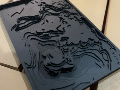
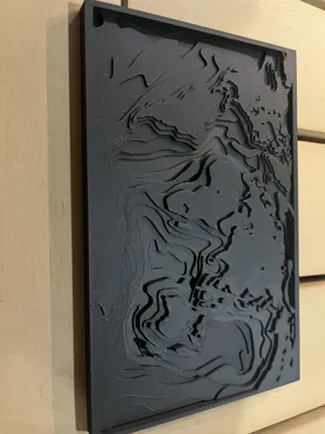
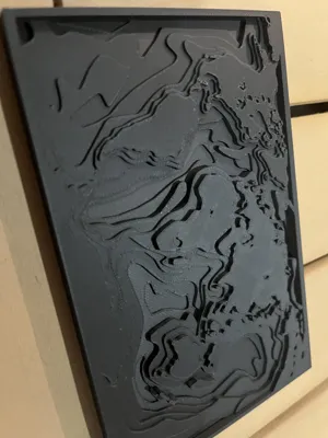
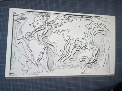
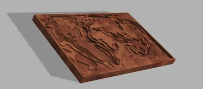
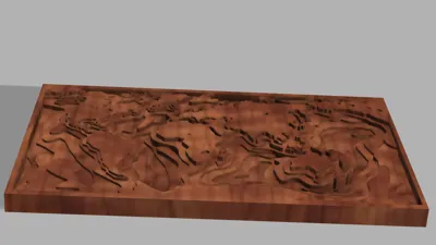
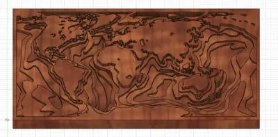
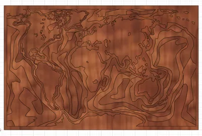
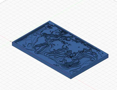
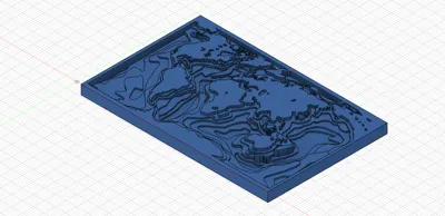
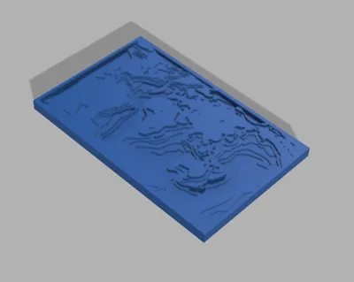
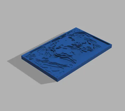
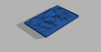
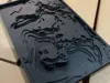
This model is a 3D printed topographic-style world map designed to display the continents and oceans using layered elevation contours. The map uses stepped terrain lines to represent changes in elevation, creating a striking three-dimensional landscape across the globe.
The continents rise gradually from the surface through multiple contour levels, giving the model a sculpted terrain effect similar to a physical topographic map. The surrounding oceans are recessed, allowing the landforms to stand out clearly while maintaining a balanced visual depth throughout the model.
The entire map is contained within a rectangular frame that provides structural support and a clean border around the terrain. This frame also helps protect the raised features while giving the model a finished display look.
The finished model measures 9.2 inches in length, 5.5 inches in width, and 0.43 inches in thickness, making it a compact display piece suitable for desks, shelves, or wall mounting. The layered geometry highlights the global landmasses while emphasizing the depth and dimensionality made possible through additive manufacturing.
This design combines geographic visualization with modern 3D printing techniques to produce a decorative and educational representation of the world’s terrain.
License
You shall not share, sub-license, sell, rent, host, transfer, or distribute in any way the digital or 3D printed versions of this object, nor any other derivative work of this object in its digital or physical format (including - but not limited to - remixes of this object, and hosting on other digital platforms). The objects may not be used without permission in any way whatsoever in which you charge money, or collect fees.
Comment & Rating (6)